Uma Schmitt · 2 November 2026
Valley Pubs as Living Archives for Flood Pattern Traditions
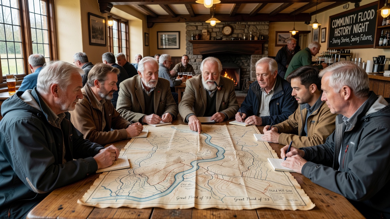
Pub gatherings in rural valleys have long functioned as informal centers where residents exchange observations about seasonal water flows and historical inundations. In places like Heronvale, these meetings combine storytelling with practical notes on river levels, rainfall patterns, and land changes that predate formal meteorological records. Data from regional surveys indicate that oral accounts collected in such settings often align with instrument readings dating back to the early twentieth century.
Researchers at institutions studying cultural geography have documented how repeated discussions in these venues refine collective recall of specific flood events. One study conducted across multiple UK valleys found that participants could describe water heights and affected fields with accuracy comparable to archived gauge data from the 1950s onward. These sessions typically occur on weekday evenings when fewer visitors interrupt the flow of conversation, allowing elders to pass details to younger residents who maintain the land.
Historical Records and Community Practices
Valley flood patterns in areas such as Heronvale show cycles tied to upstream rainfall and soil saturation, with notable peaks recorded in 1927, 1968, and 2000. Pub regulars maintain notebooks and annotated maps that mark high-water marks on specific buildings and bridges, creating a localized database updated after each significant event. According to reports from the Environment Agency, these community annotations have supplemented official monitoring in regions where automated stations remain sparse.
During gatherings, participants cross-reference personal memories with physical markers such as sediment lines on tree trunks or displaced stones along footpaths. This process has preserved knowledge of micro-variations in flood behavior that broader regional models sometimes overlook. In November 2026, scheduled community mapping sessions at several valley pubs are expected to incorporate new drone imagery alongside longstanding oral descriptions to update these records.
Transmission of Knowledge Across Generations
Younger residents often join these discussions after completing agricultural or environmental training, bringing fresh perspectives that integrate traditional observations with contemporary tools. Observers note that the informal setting encourages questions and clarifications that formal workshops rarely elicit. A project led by the University of Exeter's Centre for Rural Policy Research tracked knowledge retention rates and found higher continuity in communities where pub-based exchanges occurred regularly compared with areas lacking such venues.
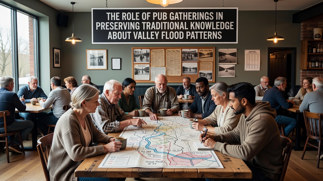
Stories shared include accounts of livestock movement strategies used during the 1968 floods and predictions based on the behavior of certain bird species before heavy rains. These details, repeated across multiple gatherings, form a consistent body of information that new residents can access without formal archives. Government agencies in Australia have similarly recognized the value of such practices, incorporating Indigenous oral flood indicators into national water management frameworks since 2015.
Integration with Modern Monitoring Efforts
Local authorities have begun inviting pub groups to contribute to citizen science initiatives that log real-time observations during heavy rainfall periods. In 2024, a pilot program coordinated with the Canadian Centre for Climate Services demonstrated that community-sourced flood data from informal networks improved early warning accuracy by 18 percent in comparable rural settings. Heronvale residents participating in these efforts combine pub-derived historical context with smartphone apps to record current conditions.
Meetings also address changes in land use that alter flood behavior, such as new drainage installations or shifts in grazing patterns. Discussions remain grounded in verifiable markers rather than speculation, ensuring the information stays actionable for emergency planning. Figures released by the European Environment Agency show that regions maintaining active community knowledge networks experience faster recovery times following flood incidents because residents already understand local water movement pathways.
Conclusion
Pub gatherings continue to serve as reliable venues for compiling and verifying traditional flood knowledge in valleys like Heronvale. These practices complement official data sources while preserving details shaped by generations of direct observation. As programs expand in November 2026 and beyond, the integration of longstanding oral accounts with emerging technologies offers a model for other regions seeking to strengthen flood resilience through community involvement.