Hugo Reed · 21 September 2026
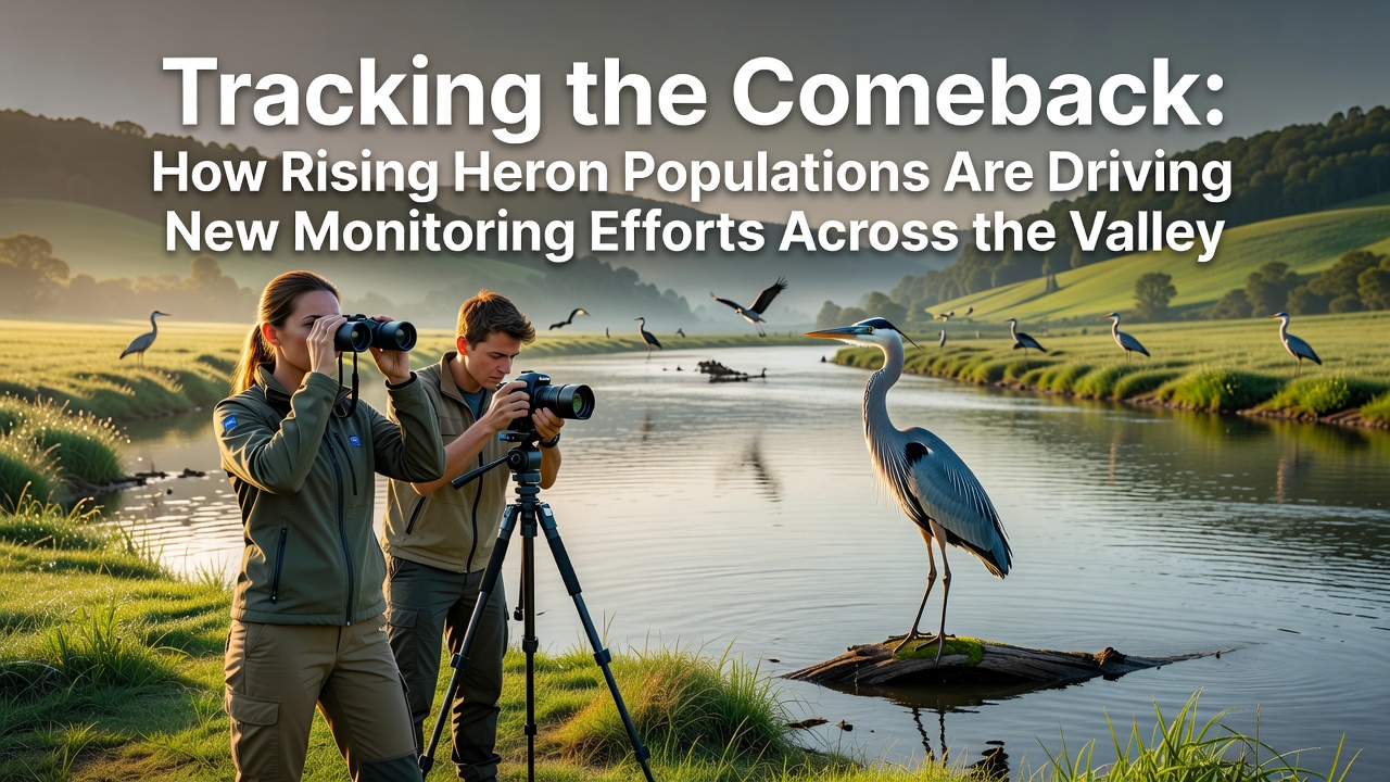
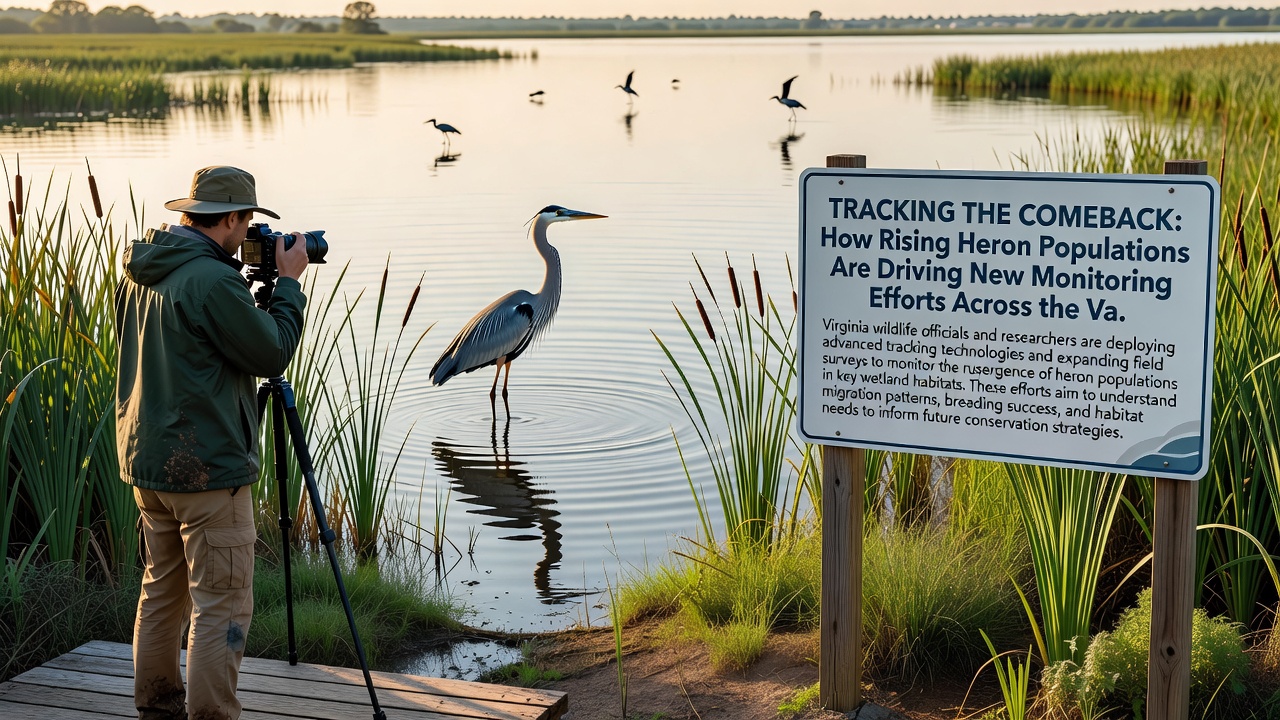
Tracking the Comeback: How Rising Heron Populations Are Driving New Monitoring Efforts Across the Valley
Heron populations across the valley have shown steady growth over the past decade, and this trend has prompted local authorities along with conservation groups to expand monitoring programs that track nesting sites and migration patterns. Data collected from annual surveys reveal that grey heron numbers have increased by approximately 18 percent since 2018, a figure that aligns with broader recovery patterns observed in similar wetland habitats throughout the region. Researchers attribute part of this rise to improved water quality measures implemented after earlier pollution incidents, while habitat restoration projects have created additional feeding grounds along river edges and in former farmland areas now left to revert to marsh.
Population Trends and Ecological Context
Survey teams operating in the valley document breeding pairs through a combination of ground counts and aerial drone footage, and these methods have become essential as heron colonies expand into new territories. Records from the local ornithology society indicate that several established rookeries now support over 40 active nests each, compared with averages closer to 25 nests in the early 2010s. Such expansion places pressure on existing monitoring resources, yet it also supplies valuable information about how herons respond when prey availability improves and disturbance levels decrease. Observers note that the birds appear to favor stretches of the river where willow and alder stands provide both shelter and vantage points for hunting.
Drivers Behind Expanded Monitoring Initiatives
New monitoring efforts stem directly from the need to understand how increased heron numbers interact with other species and with agricultural activities that border the wetlands. Farmers report occasional conflicts when herons forage in fish ponds or drainage channels, prompting the creation of collaborative working groups that include landowners, wildlife officers, and university biologists. These groups coordinate seasonal counts and share data through a centralized database updated monthly. In September 2026 the valley council plans to launch an enhanced tagging program that will attach lightweight GPS units to a sample of adult birds, allowing researchers to map daily movement ranges with greater precision than previous visual observations permitted.
Equipment upgrades include motion-activated cameras positioned at known nesting trees and automated sound recorders that capture vocalizations used during courtship displays. Data from these devices feed into models that predict how future changes in water levels might affect colony success rates. One study coordinated with partners in Canada has already compared valley results against similar increases documented along the St. Lawrence River corridor, and findings suggest that consistent monitoring can identify stress points before they lead to population declines.
Community Involvement and Data Collection Methods
Local volunteers contribute thousands of observation hours each year through structured protocols developed by the monitoring network, and their reports help fill gaps between professional site visits. Training sessions held at community centers teach participants how to identify age classes of herons and record behavior without causing disturbance. Schools in the valley have incorporated simple nest monitoring into science curricula, giving students direct experience with ecological fieldwork while adding to the overall dataset. The cumulative records now span more than fifteen consecutive breeding seasons, creating a longitudinal resource that researchers can query for long-term trends.
Technology plays an increasing role as well. Satellite imagery processed by teams at a partner university in Australia assists in mapping vegetation changes that correlate with heron distribution shifts, and the resulting maps guide placement of new monitoring stations. These combined approaches produce datasets that support applications for additional funding from national environmental agencies.
Future Outlook for Valley Heron Conservation
Plans for the coming years focus on integrating heron monitoring with broader biodiversity assessments that track amphibians, fish, and insect populations sharing the same habitats. Officials expect the September 2026 tagging initiative to run for at least three years, after which results will inform adjustments to protection zones and public access guidelines. Regular public reports summarizing key findings keep residents informed and maintain support for ongoing fieldwork.
Conclusion
Rising heron numbers have catalyzed a coordinated response that blends traditional field techniques with modern technology and community participation. The monitoring framework now in place supplies the information needed to manage expanding colonies while protecting the wider valley ecosystem, and continued data collection will determine how these efforts evolve in response to environmental conditions over the next decade.